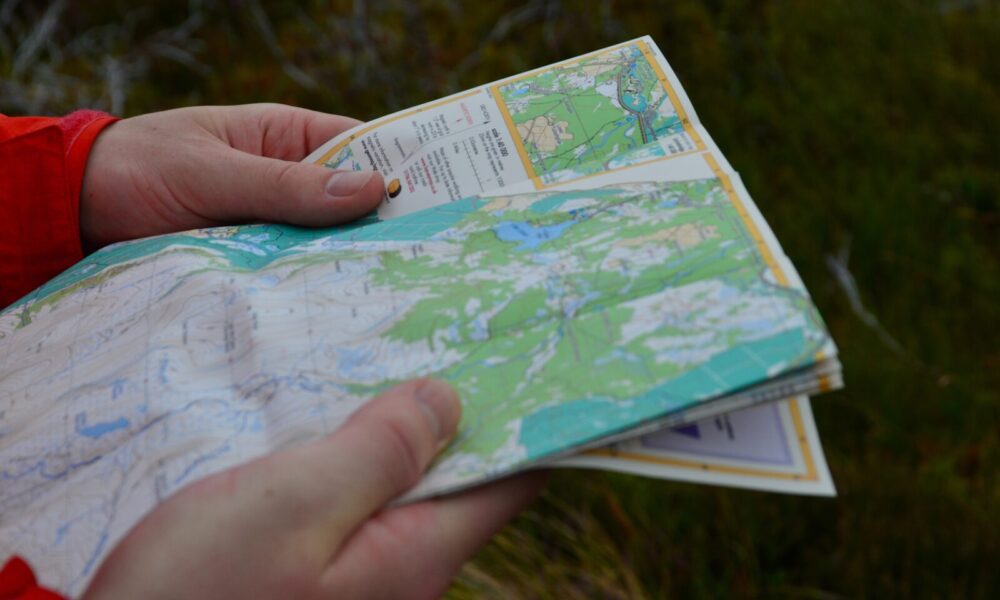
Outdoor Recreation Projects
The landscape diversity and compact size of the project area means that it has developed as a natural resource base for outdoor recreation. The area is unique in Northern Ireland as the only area that provides for land, water and air-based activities in very close proximity to each other. Surfers, walkers, anglers and cyclists share the spectacular scenery with hang gliders and fixed wing gliders of the Ulster Gliding Club. The Landscape Partnership provides an ideal chance to develop a unified strategy for all of this activity, and to make sure that it enhances and protects the hugely varied landscape and heritage of the area,whilst at the same time facilitating more inclusive access to the area from both the land and water.
The Binevenagh and Coastal Lowlands has the potential to become one of the most sustainable areas to access land, sea and air-based activities, with uniquely, direct rail connections to the rest of the island of Ireland.
Downhill Spatial Master plan
Historic Downhill Demesne covers c. 168 hectares and represents estate grounds once owned and created by Frederick Hervey, the 4th Earl of Bristol and Bishop of Derry. ‘The Ossianic setting of the site is what attracted the Bishop to build here. It has all the qualities of sublimity so fashionable in the late 18th century – a feeling of being isolated and dwarfed by a vast untamed wilderness beside the ocean’s infinity’ (Terence Reeves-Smyth, 1992). The site is integral to the landscape and heritage of the local community in Castlerock, Articlave and Downhill and helps to define the Eastern Binevenagh Slopes landscape character. The site was sold off to various landowners in the 1940s and 50s. For almost 70 years, management of the Demesne has been uncoordinated, severely restricting enhancement and development of sustainable outdoor recreation opportunities.
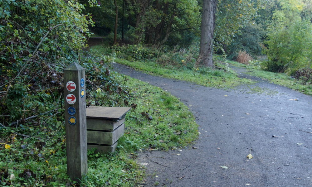
Coordinated delivery of outdoor recreation within Historic Downhill Demesne (focus on Downhill Forest South and North) works include:
• Expansion of trail network from 2 trails measuring 2.5km to 4 trails measuring 6.5km
• Better connectivity to other walks via Ulster Way
• Development of one all-ability lake trail
• Coordinated and enhanced signage and mapping of outdoor recreation facilities
• Enhanced access furniture (seating, bins, stiles etc)
• Establishment of a ‘friends of Downhill’ advisory group
• Establishment of maintenance agreement between relevant partners
Binevenagh Spatial Master Plan
This project focuses on coordinated enhancement and delivery of outdoor recreation opportunities within Binevenagh, Ballycarton and Grange Park Forests, including an off-road walk from Ballykelly to Swann’s bridge via delivery of a new Roe River Trail connecting Swann’s Bridge to the Roe Estuary (4 km), Myroe and Ballykelly Banks. A new upper walk connecting Ballycarton Forest with Binevenagh Nature Reserve (creating looped walk), enhancements to the upper route connecting Binevenagh with Castlerock, trail waymarking and signage throughout the forests, delivery of two recreation hubs at Ballycarton and Grange Park and a long distance mountain bike route connecting the forests of the project area. The project will deliver a new off-road trail connecting St Aidan’s Chapel and Bellarena Train station with Binevenagh Forest and Nature Reserve.
Castlerock Trails and Tales
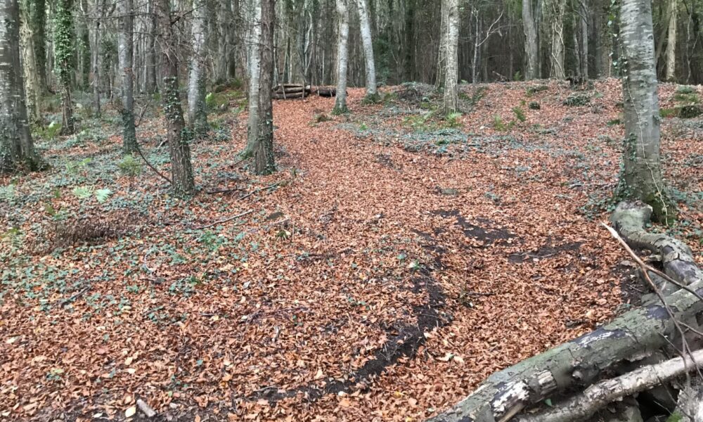
The Castlerock Trails and Tales project will raise awareness of and celebrate the history and heritage of Castlerock and its hinterland. Local residents and young people will be involved in planning and gathering information, and in encouraging usage of three self-guided, interpreted walking routes focused on the Victorian village, the Beach and Bann Estuary and Hervey and Hezlett heritage. The walks will range from 2.4 miles to 3.4 miles in length,and will radiate out from the two orientation hubs in the village at the station square and the promenade picnic hub. Interpretation panels at the hubs will outline the routes and provide an overview of the development of the village and its hinterland. The hub panels will be complemented by more detailed interpretation panels at specific sites along the three trails.
Community Training and Trails
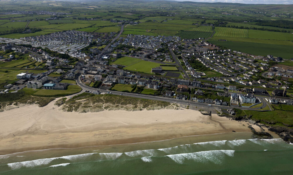
This project focuses on providing training for the local community so they can facilitate inclusive access to outdoor recreation opportunities within the Binevenagh and Coastal Lowlands area. Training will focus on providing the skills, qualifications, and confidence necessary for individuals and/or organisations to provide access to outdoor recreation opportunities. Activities include delivery of training for inclusive glider instruction, hill and moorland guiding, mountain leader qualification, rescue emergency care, child and vulnerable adult protection etc. A significant activity involves a detailed aerial laser (LiDAR) survey of the entire project area to provide elevation data which can be used to produce modern orienteering maps, but which will also contribute to archaeology projects and farm resilience planning. This project also includes the provision of local community outdoor recreation orientation points (3D relief map showing local routes and activities).
